

WHAT IS D•MAP?
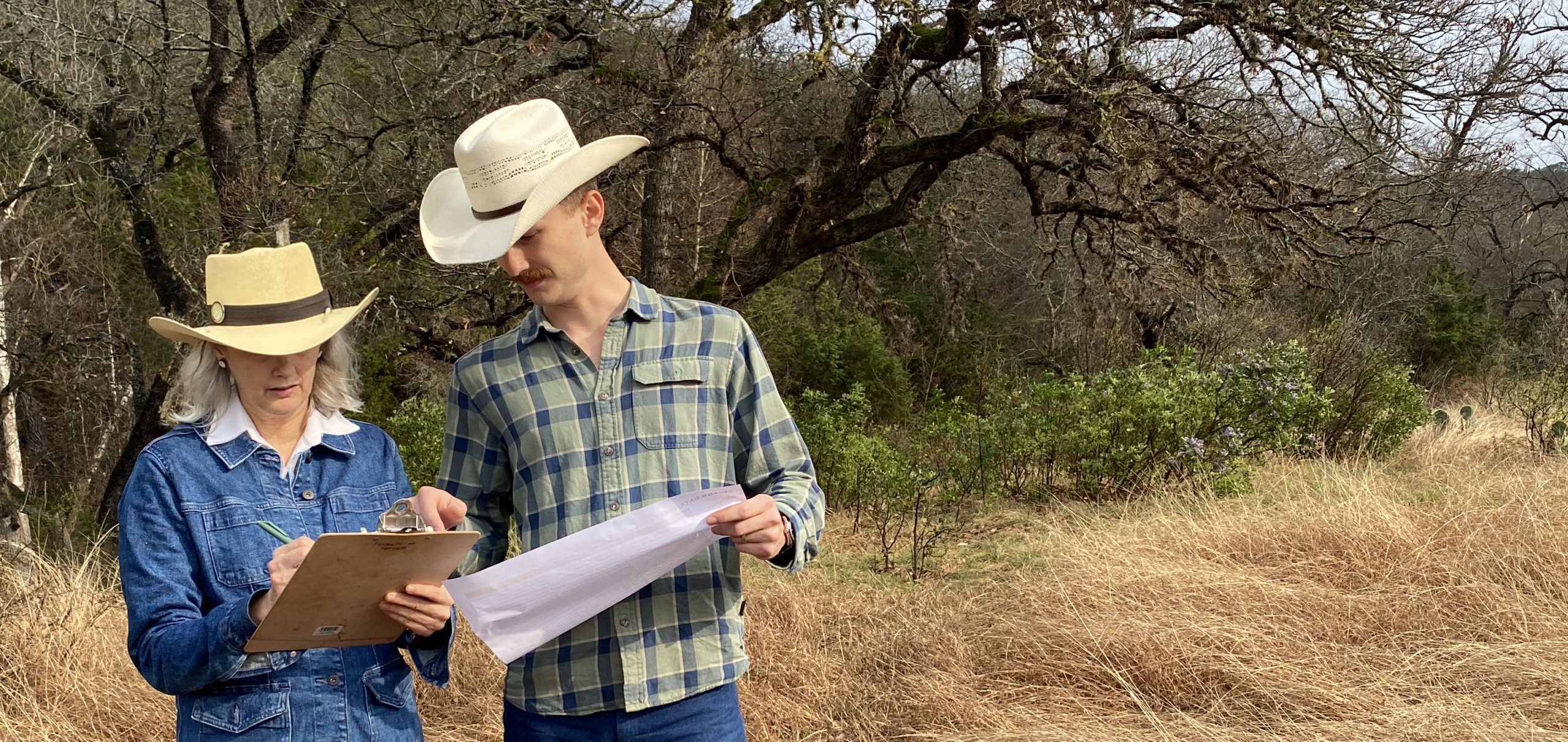
D•MAP (Decision-Making Analysis & Planning) is an online land management tool that teaches Texas Hill Country landowners how to be their own stewards.
It can be tailored for other regions and applied to any scale.
HOW DOES IT WORK?
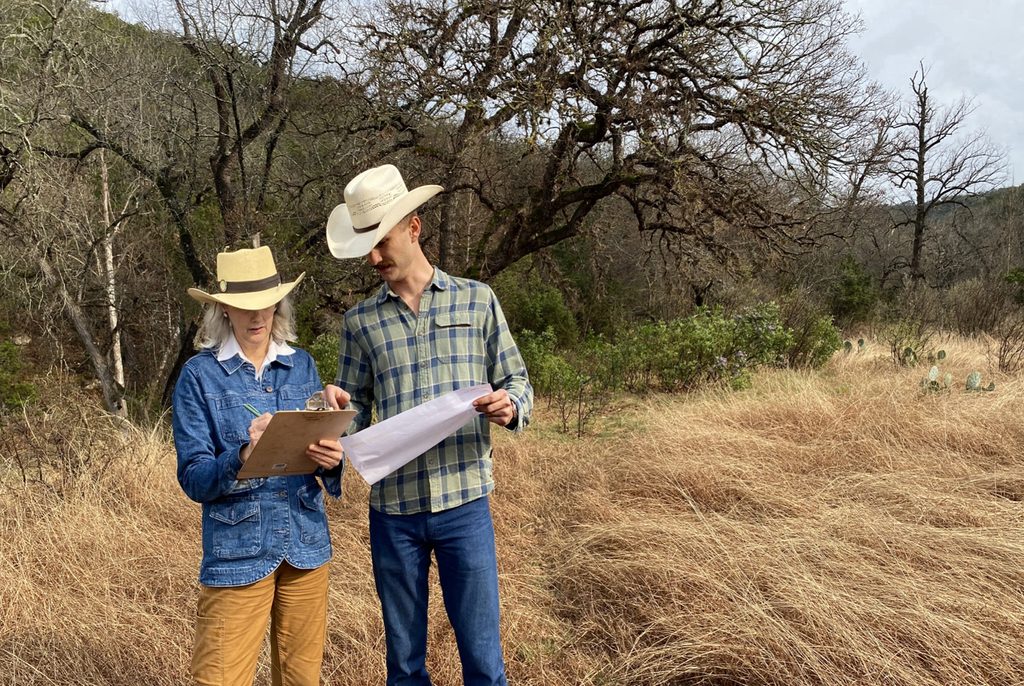
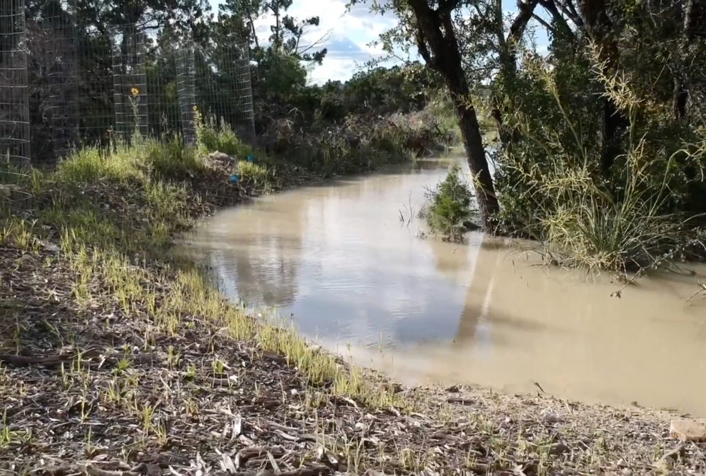
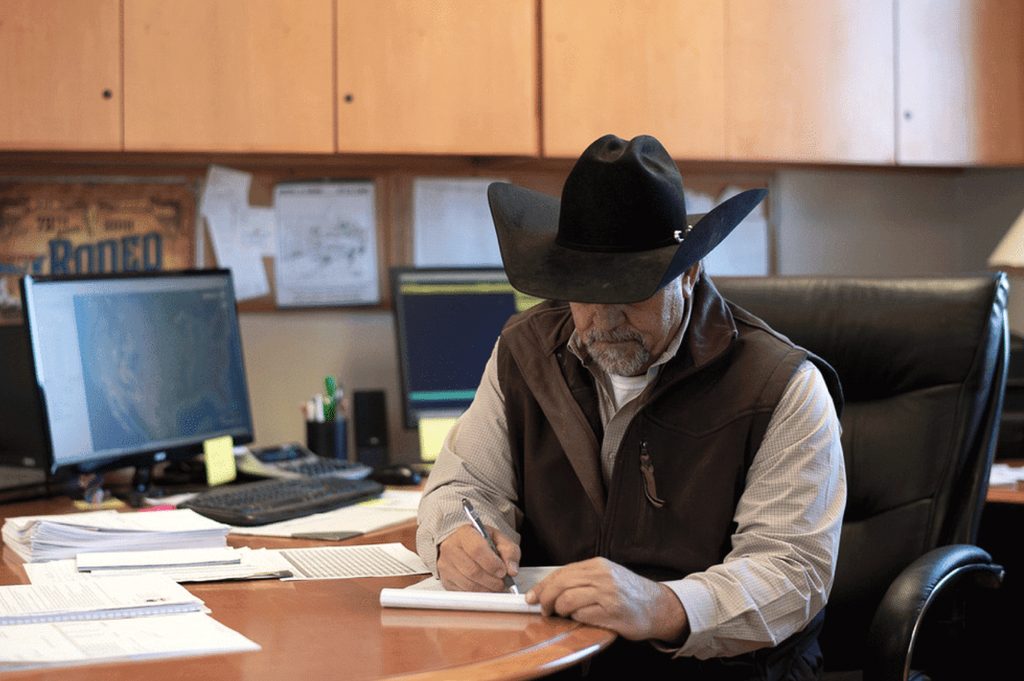
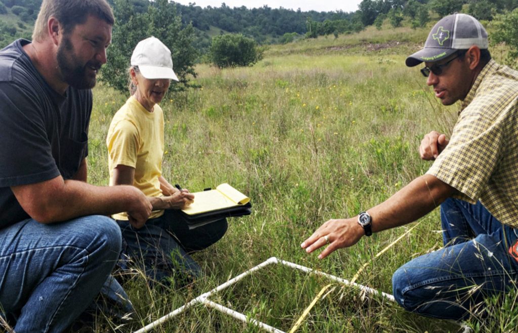
D•MAP guides landowners through a step-by-step process that divides their land into smaller units, assesses the health and tree cover of each unit, and then offers tailored management and monitoring techniques based on their specific goals, budget, and timeline.
D•MAP ROAD MAP

WHY IS D•MAP NEEDED?
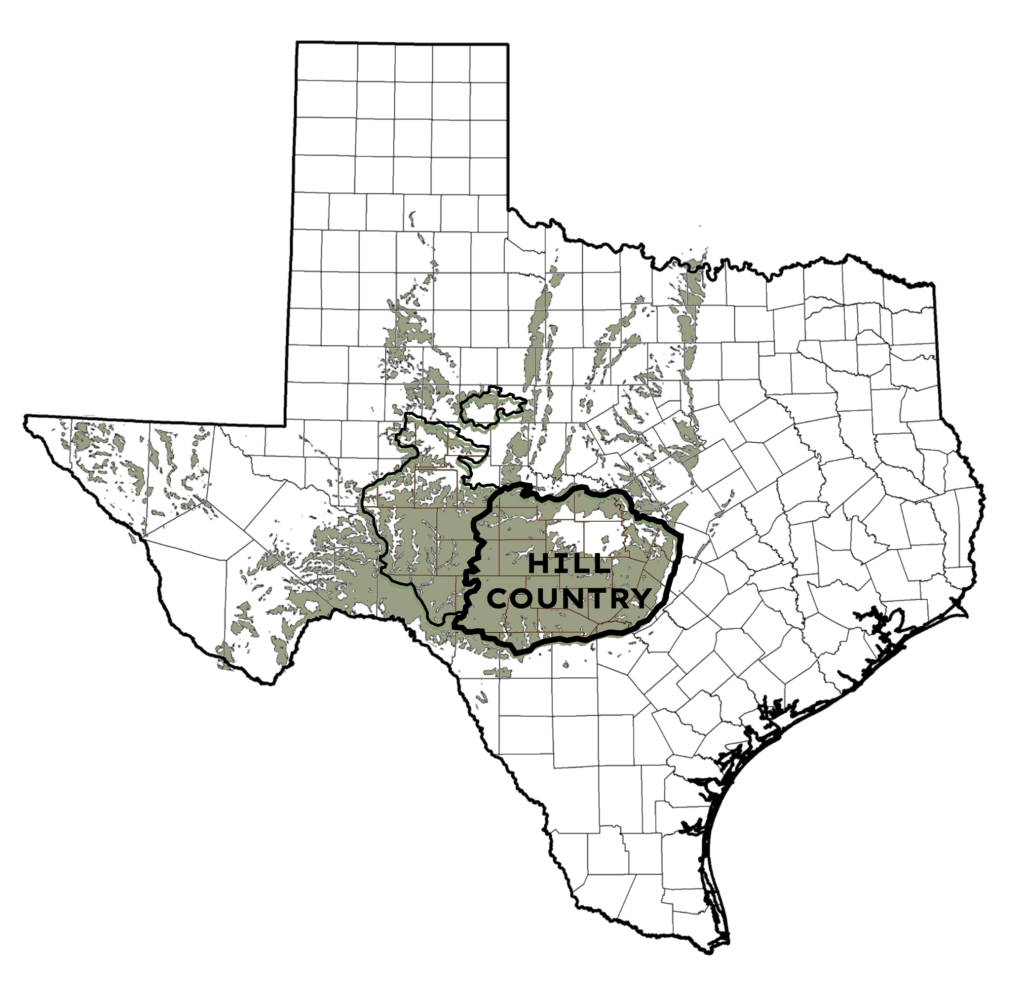
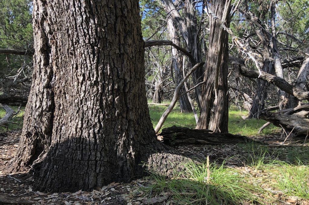
The Texas Hill Country, on the eastern half of the Edwards Plateau, is a fragile limestone karst landscape where ecological processes are deeply interconnected. Sustaining and regenerating its essential ecosystem services requires holistic, site-specific management that builds long-term resilience to floods, droughts, and wildfires.
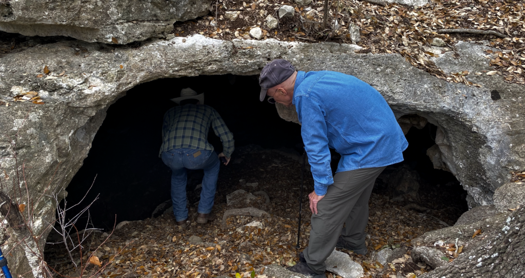
Texas karst country is not like the rest of Texas.
We need site-specific management solutions that address the fragile limestone bedrock and shallow soils.